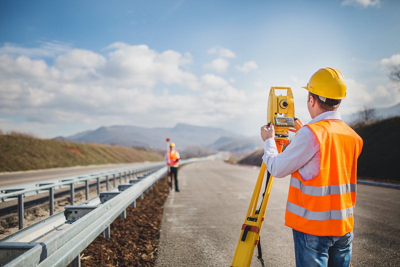
Dubai's urban sprawl continues its relentless march forward, and the Dubai Municipality's Survey Department is taking a proactive approach to keep pace. The department has announced a new project aimed at modernizing its surveying practices, leveraging the latest technologies to ensure the continued accuracy and efficiency of land development in the emirate.
The project, still under development, will see the department integrate advanced data collection tools and software into its workflow. This includes a potential shift towards drone-based surveying, which offers significant advantages over traditional ground-based methods. Drones can capture high-resolution aerial imagery and LiDAR (Light Detection and Ranging) data, allowing for the creation of detailed 3D models of the terrain. These models provide surveyors with a more comprehensive understanding of the landscape, facilitating faster and more precise measurements.
The modernization project also prioritizes the adoption of cloud-based data management systems. This shift will move away from paper-based record-keeping, streamlining data storage, retrieval, and analysis. Cloud storage offers increased accessibility and collaboration, allowing authorized personnel to access critical survey data from anywhere with an internet connection. This fosters improved communication and coordination between surveyors working on different projects.
Beyond improved efficiency, the project aims to enhance the transparency and accessibility of survey data. The department is exploring the possibility of developing a public-facing online portal where citizens, developers, and other stakeholders can access basic survey information. This could include details on property boundaries, zoning regulations, and elevation data. Public access to such information would promote greater transparency in land development projects and empower citizens to participate more actively in shaping their city.
The project also recognizes the environmental impact of traditional surveying methods, which often involve the use of vehicles and heavy machinery. Drone-based surveying offers a more sustainable alternative, reducing the department's carbon footprint. Additionally, the project's focus on cloud-based data management promotes paperless workflows, further minimizing environmental impact.
The Dubai Municipality's Survey Department's modernization project signifies a commitment to keeping pace with Dubai's rapid development. By embracing innovative technologies, the department is ensuring the continued accuracy and efficiency of land surveying practices. The project's focus on data accessibility and environmental sustainability positions the department as a leader in its field, contributing to Dubai's transformation into a smart and sustainable metropolis.

